Ride IllinoisRide Illinois

Route 66 Trail Guide

Route 66 defined a nation, a generation, and an era. As it threaded its way from Chicago to L.A., it left its mark on our nation’s history. No other road in our nation symbolizes Americana like the “Mother Road.” And Illinois’s section leads the way with a wealth of authentic sites and attractions, of history and heritage.

From 1926 to 1977, Route 66 led travelers from Chicago to St. Louis, before being replaced by Interstate 55. Today, a continuous Historic Route 66 route is signed and driven by many. In 2005, the Illinois Department of Natural Resources convened a committee of public and private groups with a new vision of exploring the sights, cities, towns, and rural areas of Route 66 at a slower pace.

The long-term plan is to develop a Route 66 Trail system of off-road paths and comfortable roads for bicycles, equestrians, hikers, and more. Meanwhile, define an interim route that can be used right away while building the project’s momentum. Our Route 66 Trail Guide is that product.

The result, dubbed “Illinois’ Route 66 Trail,” spans 369 miles from Chicago’s Art Institute and Millenium Park’s “Bean”, to the Old Chain of Rocks Bridge – a dedicated bike/pedestrian bridge over the Mississippi River just north of St. Louis. The present route consists of mostly quiet rural roads with 50+ miles of off-road trails and some city streets, and mirrors the signed Historic Route 66 auto route as much as possible.

Download our Route 66 Trail Guide (2006) to help plan your next trip.

Download the Illinois Department of Natural Resources’ Route 66 Concept Plan (2010) to learn more about the development of the trail.

About the Guide

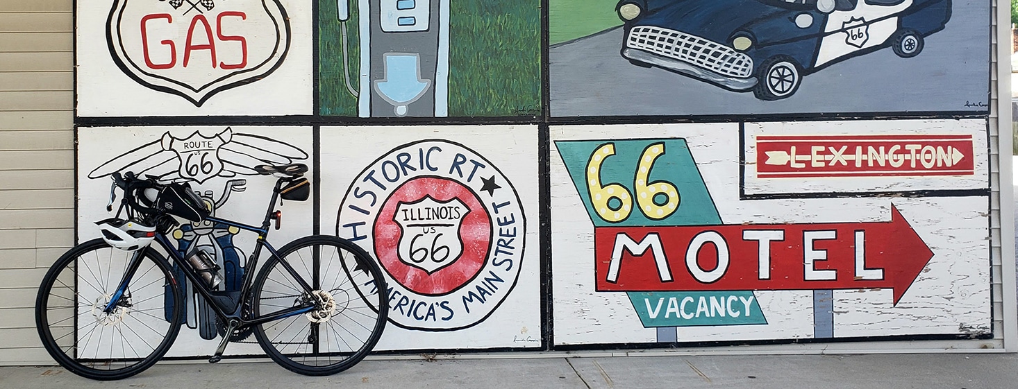
The Route 66 Trail Guide was produced by Ride Illinois in 2006 with the assistance of the Illinois Department of Natural Resources and other partners on the Route 66 Trail committee. It is intended to promote touring by bicyclists and others through Illinois’ historic Route 66 corridor. Route selection was based on factors including proximity to the historic signed route, availability of off-road trails, roadway “bike-friendliness”, accommodations, and points of interest. Wherever possible, routes comfortable for casual adult cyclists and other non-motorized uses were selected. More advanced riders may choose the shortcuts using Historic Route 66 segments with moderate traffic. Over time, the route will change as more off-road trails are built and improvements made to other roads.

Using this Guide

The Route 66 Trail Guide (2006) is divided into eight segments averaging 50-55 miles-possibly a day’s ride. Each segment includes major attractions; accommodations fairly close to the route; bike repair; emergency contacts; and a detailed north-to-south cue sheet with turns, road names, and mileages. Segment maps list towns with convenience stores (C), sit-down restaurants (S), lodging (L), bike repair (B), and Amtrak* stations (RR). Town inset maps are at the back. Contact local tourism or convention & visitor bureaus for further information. Enjoy!
* Amtrak’s Chicago-St. Louis route (and for cyclists, their on-train bike policy) makes possible one-way trips on parts or all of the Route 66 Trail. Stops include Chicago, Joliet, Dwight, Pontiac, Normal, Lincoln, Springfield, Carlinville, and nearby Alton. See www.amtrak.com.

Route Map Links

Chicago to Joliet

Joliet to Dwight

Dwight to Normal

Normal to Lincoln

Lincoln to Springfield

Springfield to Litchfield

Litchfield to Granite City*

(Western option) Springfield to Granite City*

* Includes changes since Route 66 Trail Guide publication


See maps and videos of the route through Sangamon County (Springfield) here.

Signs in Route 66 Trail Communities

The following communities have erected Route 66 Trail signs, as of December 2014:

  • Madison County Transit Trails
  • Staunton
  • Gillespie
  • Carlinville
  • Macoupin County
  • Girard
  • Auburn
  • Interurban Trail – Chatham to Springfield
  • Chatham
  • IDOT – Springfield to Sherman
  • Mt. Olive (in progress)
  • Litchfield (in progress)
  • Williamsville
  • Elkhart
  • McLean
  • McLean County
  • Constitution Trail – Bloomington-Normal
  • Pontiac
  • Dwight
  • Wauponsee Glacial Trail
  • Waterfall Glen Forest Preserve